Fit runners tend to judge the Manitou Incline by its length.
That is the misleading number.
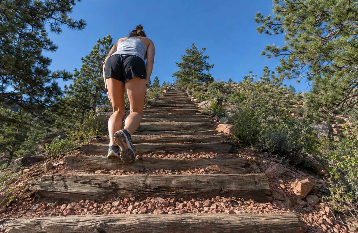
The Incline is under a mile long, but it climbs about 2,000 feet on old railroad ties. For most runners it is one of the hardest single miles they will ever cover, and it is almost all hiking.
You are ready if you are active and already adjusted to Colorado’s altitude, which is the city’s own recommendation. If you flew in from sea level this week, give it a few days first.
The rest of the planning is about three things: pacing, the way down, and the time of day.
The numbers behind the reputation
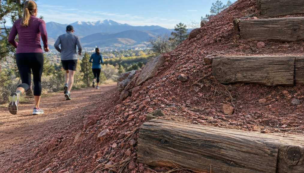
The City of Colorado Springs, which runs the Incline, gives the core figures on its official page.
- 2,000 feet of elevation gain in less than a mile.
- 2,768 steps, the old ties of a cable railway that once served pipeline work on Pikes Peak.
- A false summit, where the top you can see is not the top.
The climb starts in Manitou Springs, which is already higher than Denver. The Pikes Peak Marathon course notes put the town’s City Hall at about 6,300 feet, and the Incline starts higher up the same canyon.
So a Denver runner starts the Incline more than 1,000 feet above home, and finishes more than 3,000 feet above it. The air at the top is thinner than anything a City Park loop prepares you for.
Why running fitness only covers part of it
A runner who can race a strong 10K usually has the heart and lungs for the Incline. What the legs meet is different.
The city describes the route as a steep, uneven staircase. Each step is a high step-up, over and over, with no flat ground to recover on.
That loads the thighs and calves in a way road running does not. Runners who have trained on hills and trail usually find it more familiar than runners who only train on flat paths.
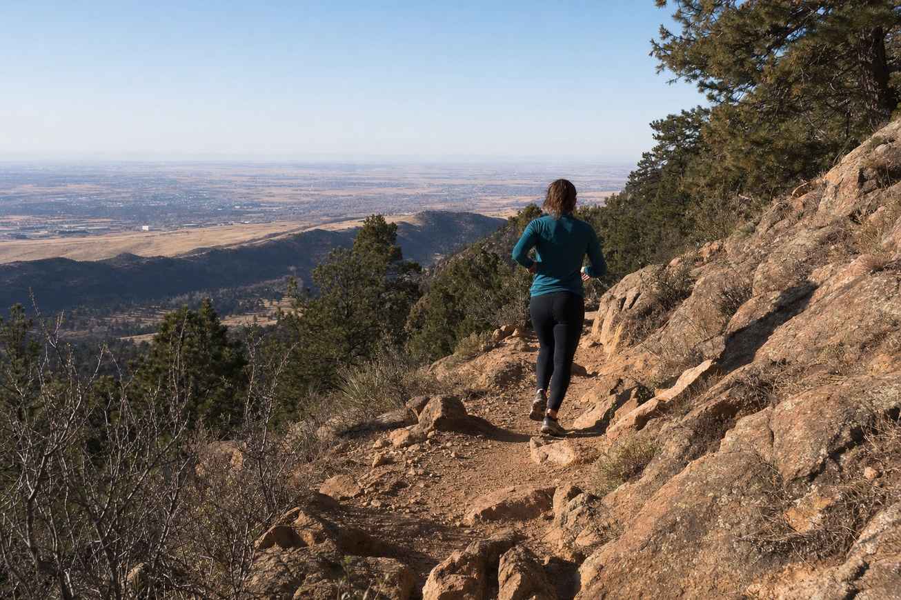
Time on the foothills routes in trail running near Denver builds more of this than any road loop does. A weekly hill session in the month before your climb is simple, useful preparation.
Pace it by breathing, not by speed
The common mistake is to start at a strong walk and treat the Incline as a race.
On steep ground at altitude, that pace does not last.
A better rule is to climb at an effort where you could still say a short sentence. When you cannot, slow down or stop for a few breaths.
The skill behind pacing by effort at altitude works on the Incline exactly as it does on a Denver run. The watch is no help here, because speed on a staircase means very little.
Plan for the false summit before you see it. The city names it in its own warning, and it arrives when you are most ready to be done.
A better rule is to climb at an effort where you could still say a short sentence.
Where you can turn back
The Incline has two marked exits, and knowing them makes the climb safer to try.
- At tie 396, a connection to the Ute Pass Trail leads about a third of a mile back to the trailhead.
- At tie 1300, roughly halfway, the Ute Pass Trail offers a 1.5-mile route back to the base.
Past the halfway exit, the city lists no other way off until the top.
That makes tie 1300 the honest decision point.
Turning back at the halfway exit is a normal outcome, not a failure. The city’s own page says the elevation affects everyone differently.
Getting a slot and getting down
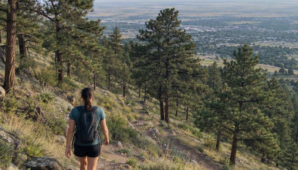
The Incline needs a free online reservation and a signed waiver, every time. The city releases the next month’s reservations on the 1st of each month.
- Summer hours, May 1 to October 31: 6 a.m. to 6 p.m.
- Winter hours, November 1 to April 30: 6 a.m. to 3 p.m.
- Your slot is an arrival window of 30 minutes, with no time limit on the climb itself.
The city does not publish a typical climb time. It only says there is no limit, so plan the whole morning rather than an hour.
Do not walk back down the steps. The city forbids it for safety.
The descent goes down Barr Trail or the Northern Return Trail instead. It is a real trail walk, not a quick return, so keep water and energy for it.
Go early, and watch the afternoon sky
Summer thunderstorms are common around the Incline, and the city says so directly. Its advice is not to be on the Incline when lightning is present.
The National Weather Service advice for mountain areas is plain. Storms typically develop in the early afternoon, so hike early and be down the mountain by noon.
On a summer day, book one of the first slots of the morning. The storm pattern is the same one behind lightning and the Denver runner.
The city also asks you to bring water, snacks and sunscreen, and to drink well the evening before.
When to leave it for another trip
The Incline does not suit every visit, and a few situations are worth naming.
- You arrived from sea level in the last few days. The city asks lower-elevation visitors to acclimate for a few days first.
- You have a heart or lung condition. Check with your doctor before a climb this steep, at this altitude.
- Storms are forecast before noon. Move the climb to another morning.
- You planned to bring the dog. Dogs are not allowed on the Incline.
New to the altitude? Build a few weeks of hills first, and the Incline will still be there. The plan in your first month running in Denver is a gentler place to start.
The city releases 45 reservations for each half hour. On a summer day, the first half hour of the morning is the one worth having.